- n. [jee-al-i-tee]
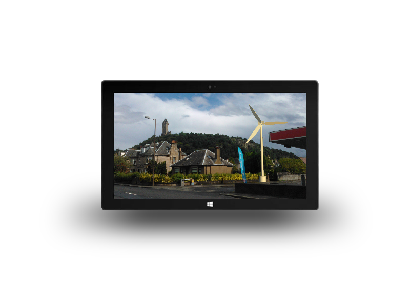
- the convergence of geospatial data with augmented reality technology.
- the integration of real-world sensors for attitude, orientation, location and imagery with spatial data and services to provide new visualisation tools for a mobile equipped workforce and public.
